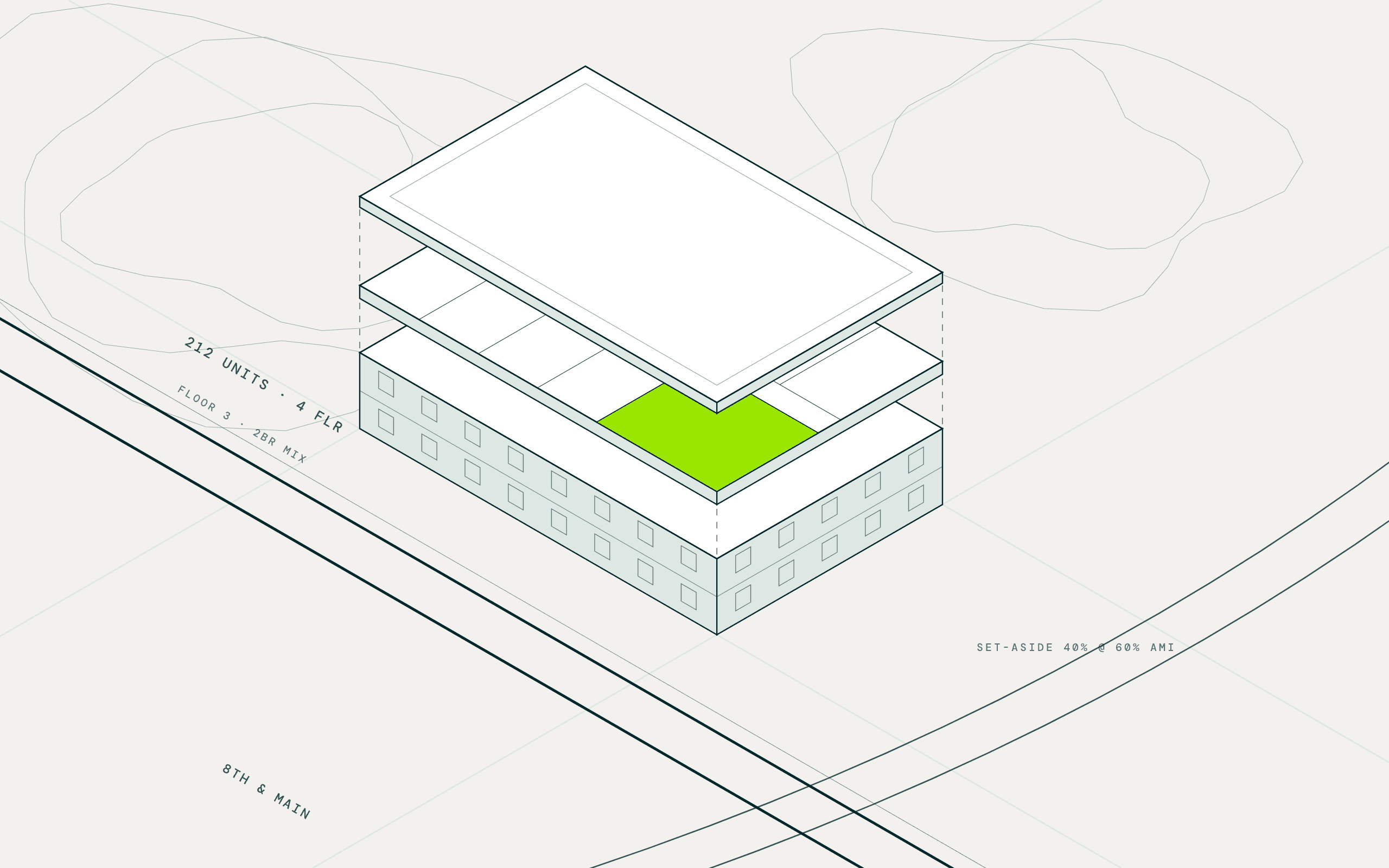

How a Housing Developer Found Land That Could Be Rezoned for Apartments
Acquisitions and deal sourcing manager, national affordable housing developer headquartered in Southern California · Nationwide, Georgia and Florida first · August 21, 2026
What they knew
A national affordable housing developer headquartered in Southern California builds and acquires LIHTC communities across the country, with Georgia and Florida its busiest markets. Its acquisitions and deal sourcing team reviews about 250 deals a year to close 30, and in the qualified census tracts that decide a 9 percent award, anything already zoned for multifamily was built years ago. Half the pipeline had to come from rezones, found by reading a county's future land use map beside its zoning map in GIS software. One market had been searched that way for three years.
What they asked
Inside this county's QCT and DDA tracts, which parcels are zoned for something else today but sit under a future land use or a zoning overlay that would let us rezone for multifamily?
What MAIA did
Pulled the future land use the zoning map hid
Where the assessor's file carried zoning but not the plan, MAIA found the county's published future land use layer and joined it to every parcel inside the eligible tracts.
Flagged the parcels planned for more than they are zoned for
Future land use and overlay districts were compared with current zoning, and the parcels whose planned use allows multifamily density were marked as rezone candidates with the ordinance cited.
Researched the precedent
For each candidate the agent looked for nearby rezonings to multifamily and attached them, so the shortlist carried the argument the planning department would hear.
What came back
- 63 rezone candidates inside one county's QCT and DDA tracts: parcels zoned single-family or commercial today that sit under a future land use allowing multifamily density, each with the ordinance cited
- The county's own future land use map on every parcel, with the designation, the current zoning, the acreage, and the precedent rezonings nearby attached by the agent
- Two new markets in a week: the overlay ran in the team's two busiest states first, then was saved as a skill for the rest of the footprint
What they did next
A shortlist goes to the owners and to the planning department in the same week, and the sourcing manager walks in with the future land use and the nearest precedent in hand. Georgia and Florida run the rezone screen beside the by-right search, and the rest of the footprint follows county by county. After that comes the state's QAP score on every candidate, so a rezone site enters the 250-deal review ranked the way the agency will rank it.
We look at 250 deals a year to close 30. The ones I lose sleep over are the rezones we never saw, because the zoning map said no and nobody checked the comp plan.