
Find BESS sites worth taking into interconnection
MAIA finds every parcel in a county within reach of a substation or transmission line that clears your acreage, zoning, environmental, and neighbor screens, then resolves the owner behind each one. Storage developers use it to turn a county's substation buffers into a ranked short list in an afternoon. Sourcing starts from every parcel in the buffer, not from a spreadsheet.
How it works
Draw the buffer
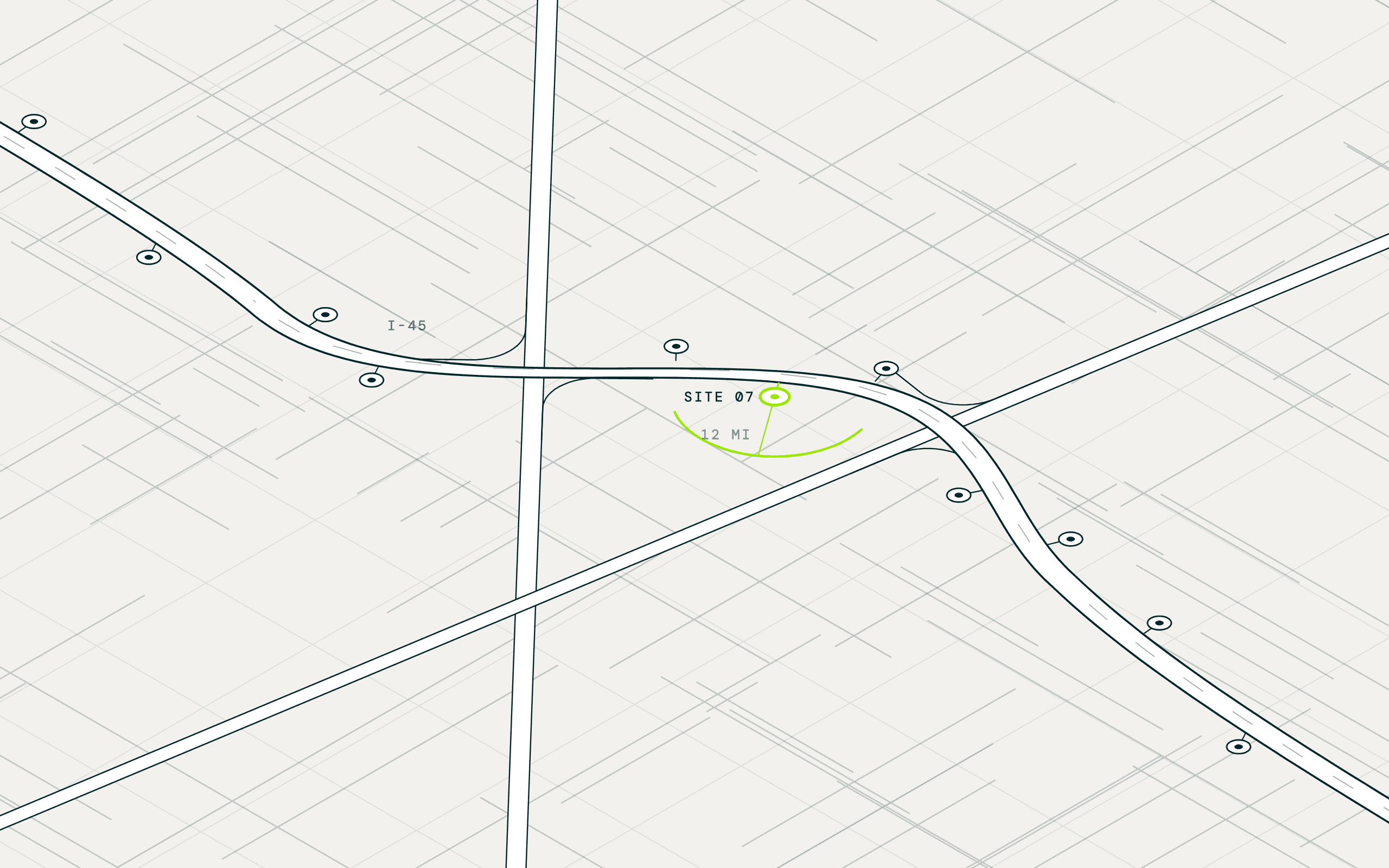
MAIA draws your distance around every substation and transmission line and returns every parcel inside it, with acreage and zoning. Your grid model picks the nodes, and MAIA hands you the land around them.
Screen the land
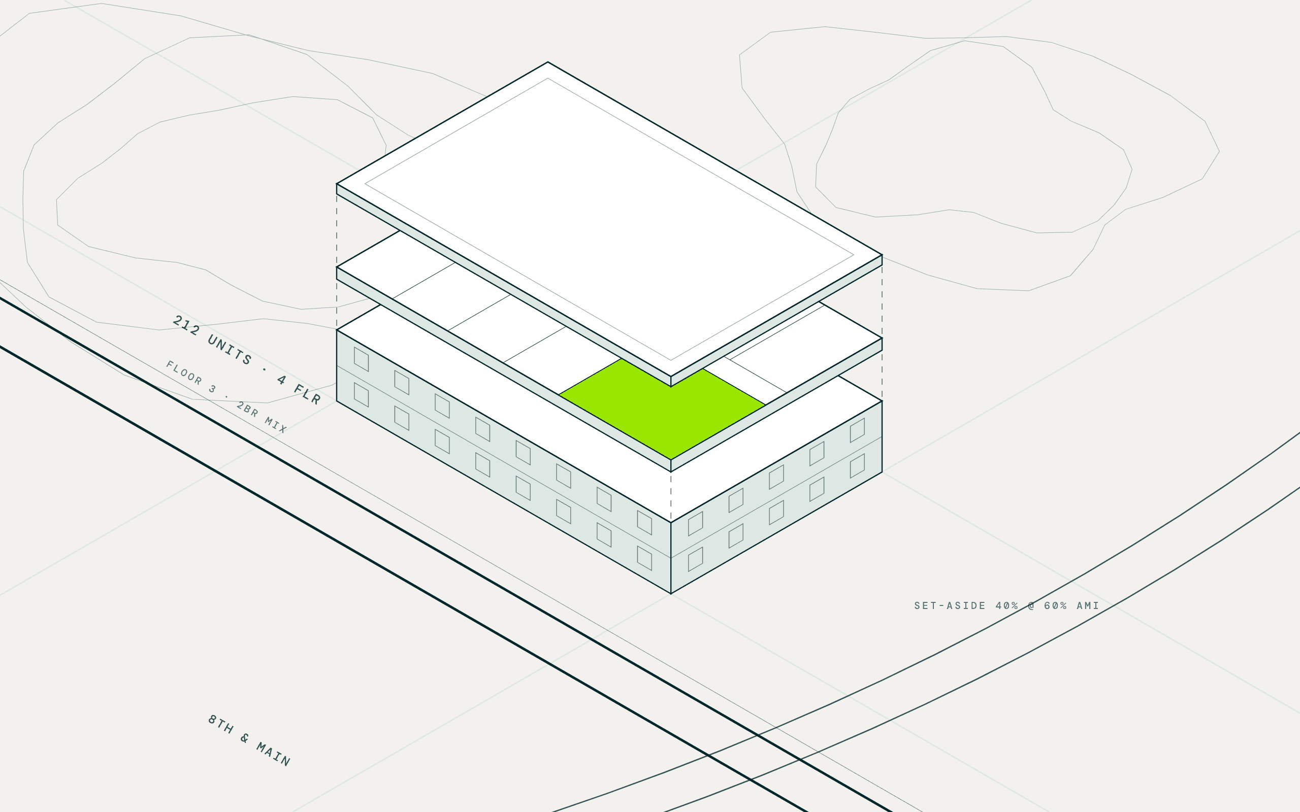
Each parcel is checked against its zoning code and joined to flood, wetland, and cleanup records. Terrain and imagery measure the flat, unbuilt area and the distance to the nearest home or school.
Resolve the owner and the ask
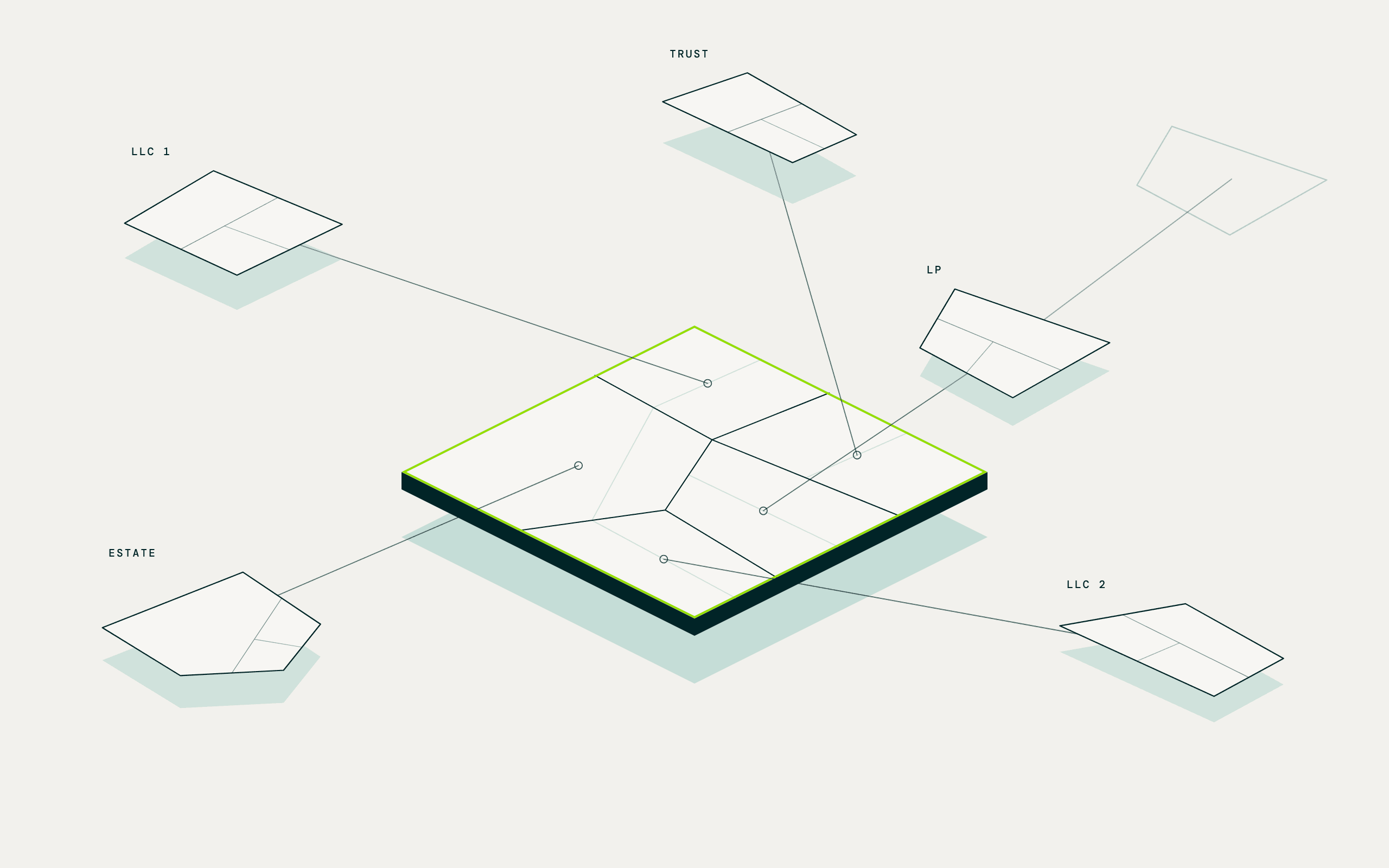
Assessor records sort owners by type, so utilities, governments, and railroads drop out. Long tenure and low improvements flag a motivated seller, and each row carries the owner behind the LLC and a contact.
The GIS analyst's substation buffer, the county parcel viewer, and the purchased owner list.
Questions teams like yours ask MAIA
Asked in plain language. Answered across every parcel in your territory at once.
Which parcels sit within a quarter mile of a substation and clear our acreage?
Every substation and transmission line is mapped, your buffer drawn, and each parcel inside returned with acreage, zoning, and owner. Change the distance or acreage band and the list rebuilds.
Which candidates allow BESS by right, and what setbacks apply?
Zoning codes from parcel records make the first cut. For the shortlist, MAIA reads the municipality's ordinance for storage use, setbacks, and fire permits, and cites the section.
Which sites are clear of floodplain, wetlands, and contamination?
FEMA flood zones, the wetlands inventory, and EPA cleanup records are joined to each parcel, and anything touched is flagged with the record behind it.
Which sites have sensitive neighbors?
Distance from the parcel edge to the nearest home, school, and hospital sits on every row. Sites that would face a fight at the hearing fall to the bottom.
Which qualifying parcels are for sale, and who owns the rest?
Listing status marks the sites on the market. For the rest, corporate filings pierce the LLC to the owner and a contact, with long tenure flagging a likely seller.
Which owners hold several parcels near one substation?
Every parcel in the buffer is grouped by its resolved owner, so a site too small on its own shows up as part of a portfolio one conversation can assemble.
The data underneath
Every result carries the record it came from, so the analysis is cited and defensible.
| Screen for | Dataset | Source |
|---|---|---|
| Grid proximity | Substations and transmission lines, with distance to each parcel | Public grid infrastructure records; county assessor and property records |
| Acreage and zoning | Parcel size, zoning code, and land use | County assessor and property records |
| Setbacks and permitting | Published municipal ordinance on storage use, setbacks, and fire permits, researched per shortlist | Cited web research |
| Environmental constraints | Flood zones, wetlands, brownfields, and Superfund sites at the parcel | FEMA, National Wetlands Inventory, and EPA records |
| Terrain and usable area | Slope, elevation, and unbuilt area inside the parcel | USGS terrain data; building footprints and heights; computer vision on current aerial imagery |
| Sensitive neighbors | Distance to the nearest home, public school, and hospital | County assessor and property records; public school records; verified business locations |
| Availability and owner | Listing status, owner type, LLC resolution, and contacts | County assessor and property records; cited web research; multi-source contact intelligence |