
Find the industrial yards the listing databases miss
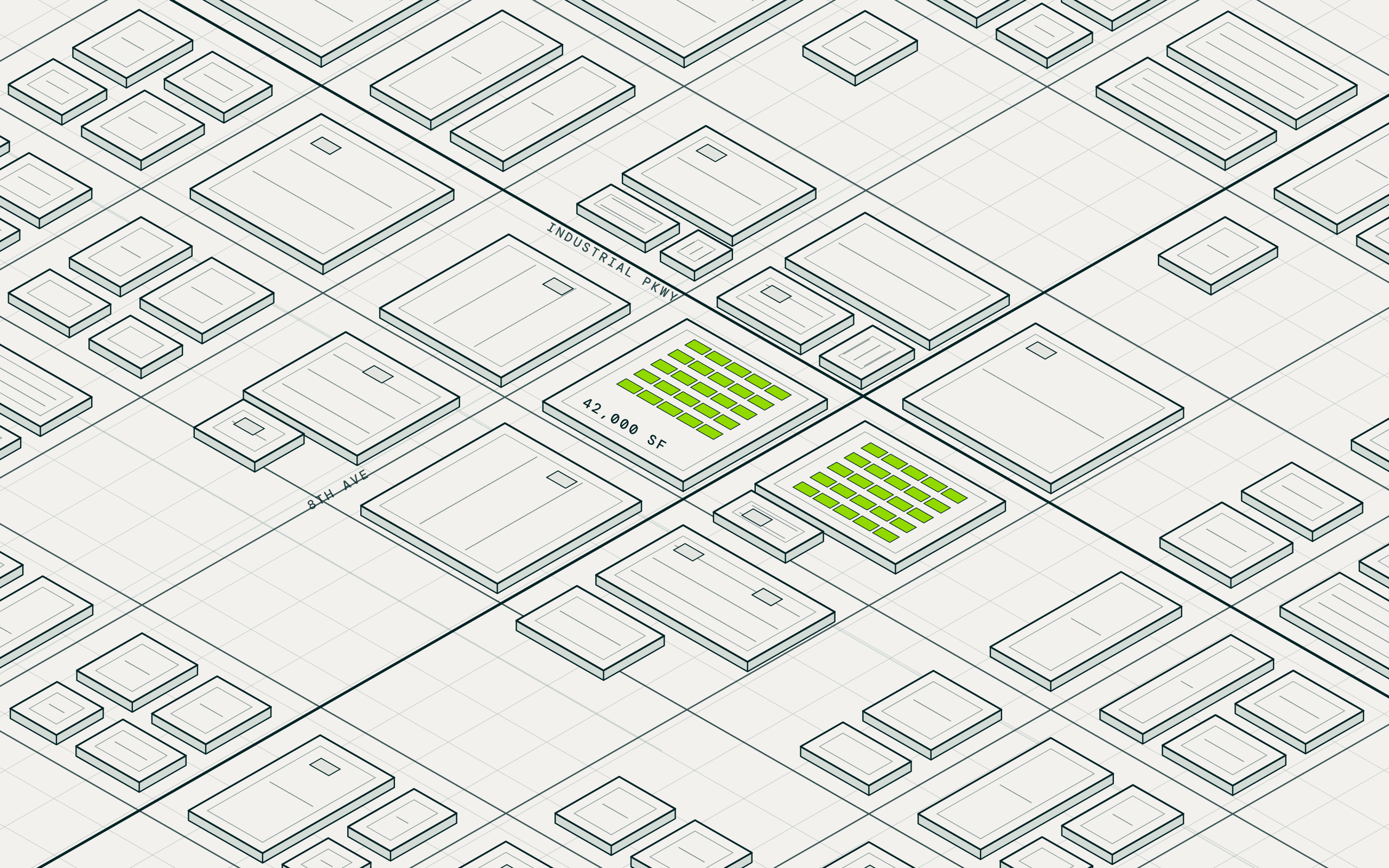
MAIA finds every industrial parcel in a county zoned for outdoor storage by right, with the low building coverage and usable acreage of a real yard, then resolves the owner behind each one. IOS investors use it to cut a county's industrial parcels to a few hundred true yards and reach the owners the listing databases can't. Sourcing starts from every parcel in the market, not from a broker's inbox.
How it works
Read the zoning
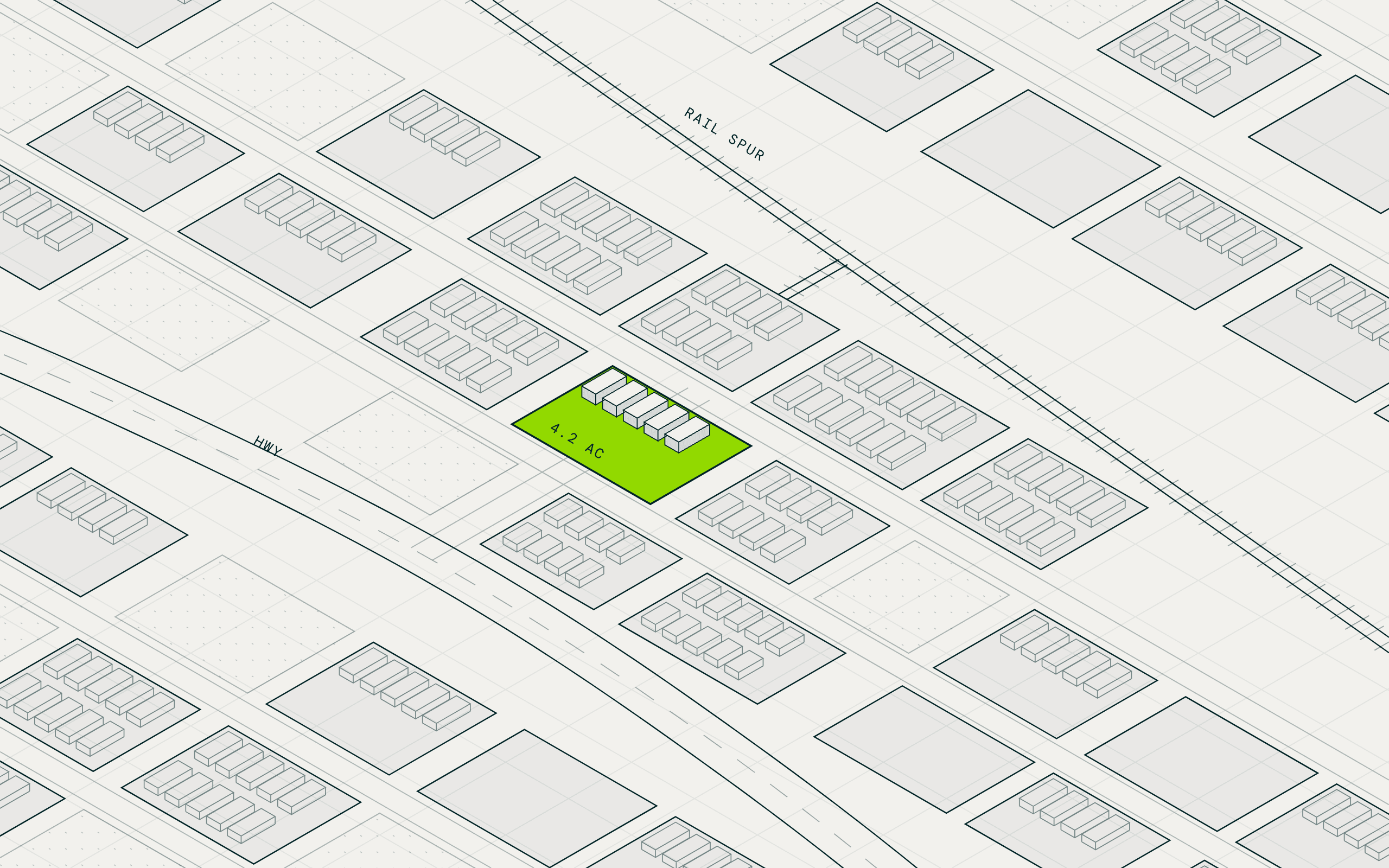
MAIA reads the county's ordinances and marks every zoning code as by right, conditional, or never for outdoor storage. Every industrial parcel in your acreage band lands on the map, with the IOS pockets visible.
Measure the yard
Building footprints set the coverage ratio, and imagery grades the surface as paved, gravel, or dirt. Usable acreage is measured after the building and truck court, and flood and wetland records drop the wet sites.
Resolve the owner and the call
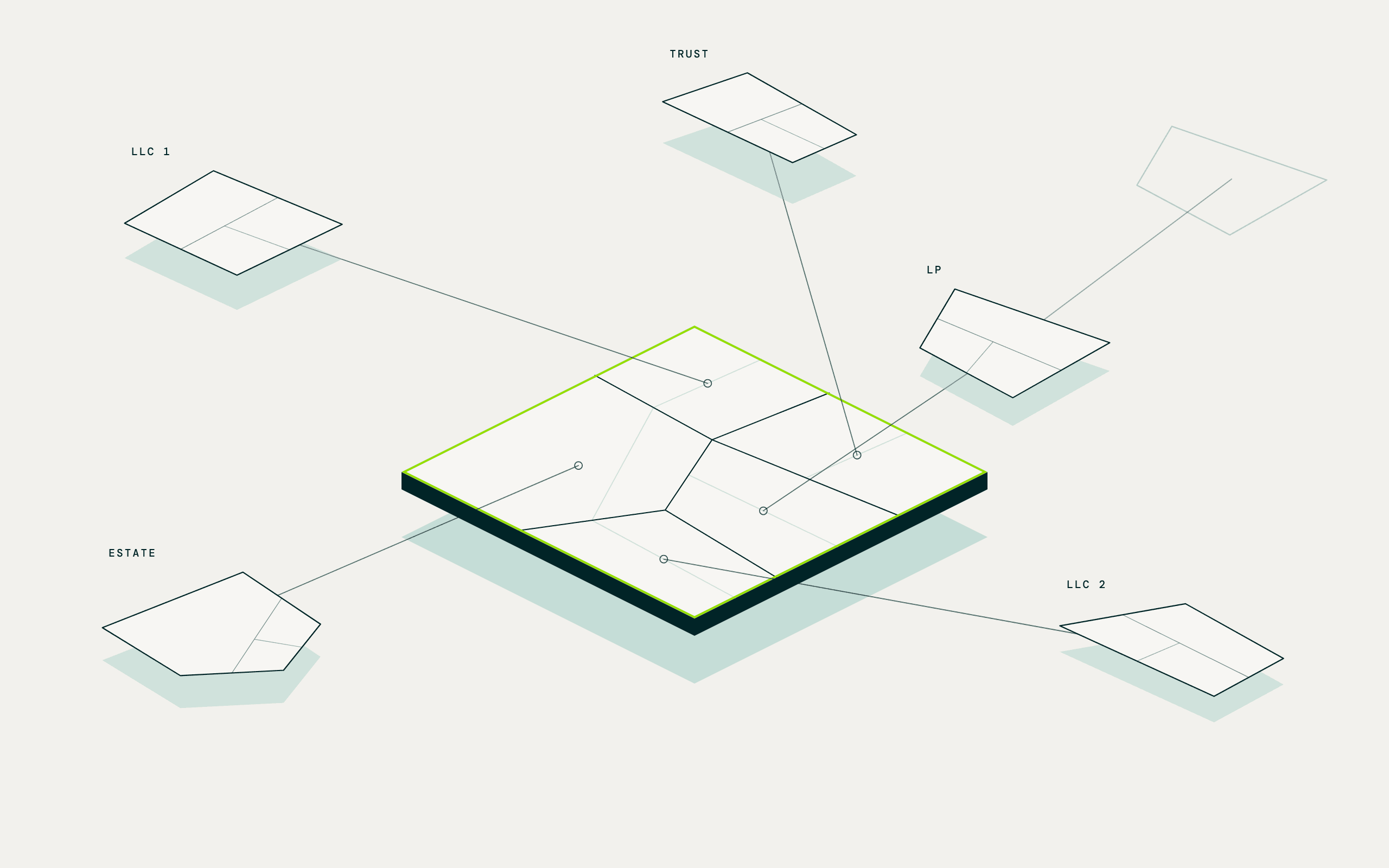
Assessor records sort owners by type, so utilities, governments, and railroads drop out. Adjacent parcels under one owner surface as assemblages, and corporate filings pierce the LLC to the operating owner and a direct number.
The owner-lookup subscriptions, the county zoning tabs, and the hand-measured comp sheet.
Questions teams like yours ask MAIA
Asked in plain language. Answered across every parcel in your territory at once.
Which zoning codes in this county allow outdoor storage by right?
MAIA reads the ordinance behind every zoning code and writes a column per parcel: by right, conditional, or not permitted, with the section it relied on.
Which parcels have the acreage and coverage of a real yard?
Lot size from parcel records and coverage from building footprints run your acreage band and coverage cap across the county. Every parcel lists with the reason it cleared or failed.
What is the net usable or rentable yard on each site?
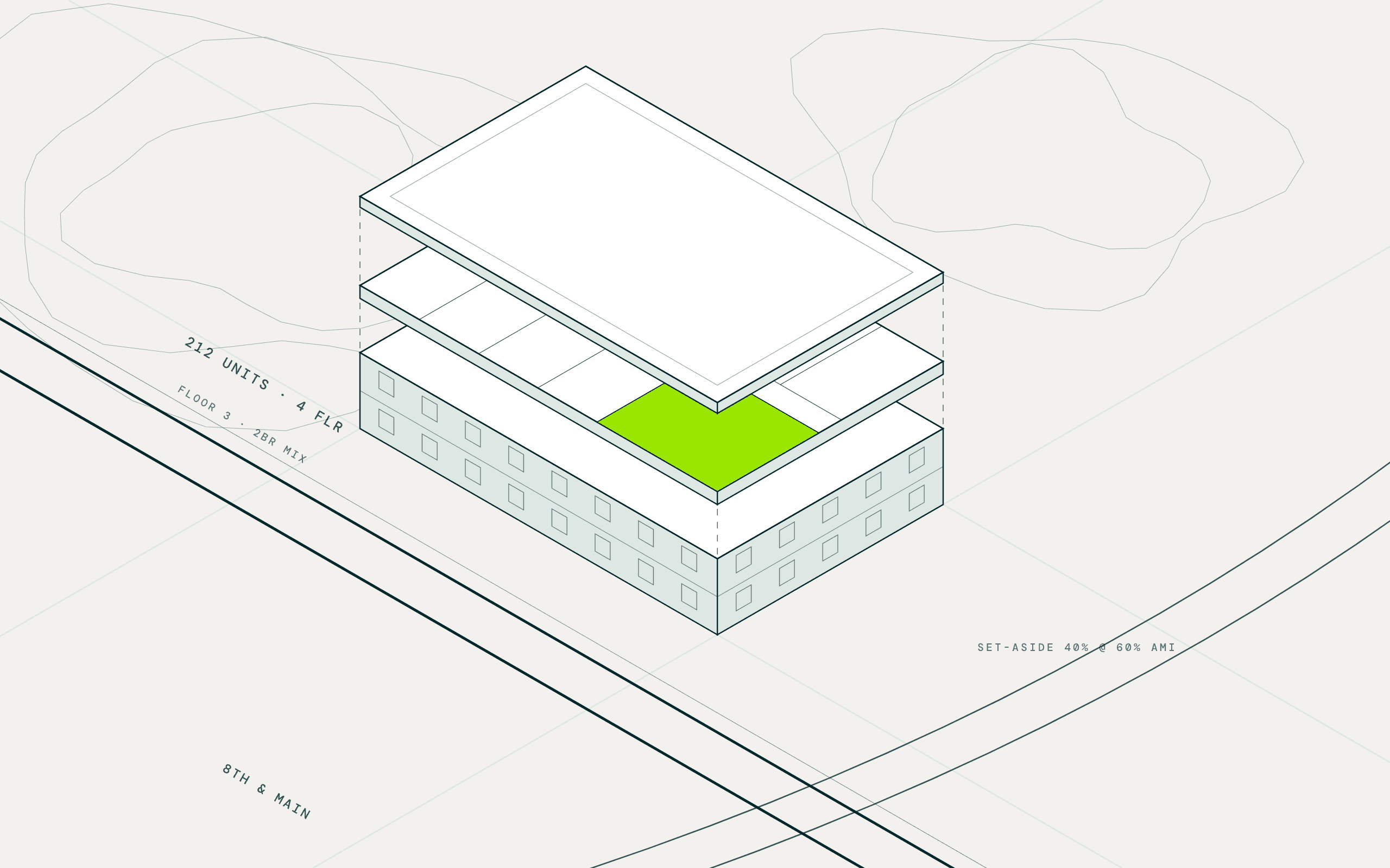
MAIA subtracts the building, truck court, setbacks, and leftover strips to get usable acreage, or applies your own rule, and runs it across hundreds of sites at once.
Which yards are paved, fenced, and class A?
Computer vision on current imagery grades each yard as paved, gravel, or dirt, with fencing noted. The shortlist sorts by what a tenant would pay for.
Which sites are clear of floodplain, wetlands, and contamination?
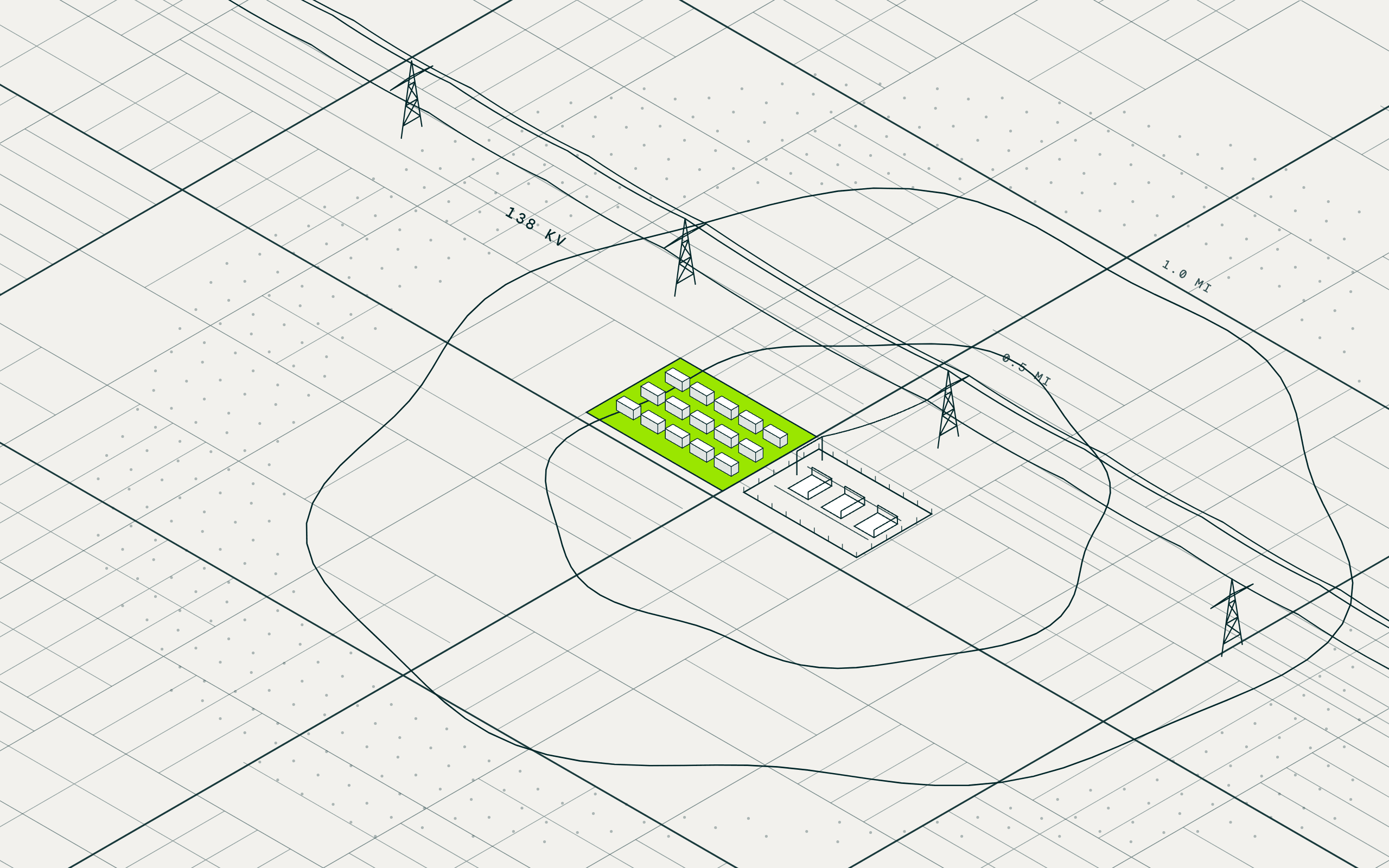
FEMA flood zones, the wetlands inventory, and EPA cleanup records are joined to each parcel, and a former dry cleaner or fuel site is flagged from land-use records.
Who owns each yard, and who takes the call?
Assessor records classify each owner as institutional, regional, or mom-and-pop, and corporate filings pierce the LLC to the operating owner. Contact enrichment returns a direct phone and email, reasoning attached.
The data underneath
Every result carries the record it came from, so the analysis is cited and defensible.
| Screen for | Dataset | Source |
|---|---|---|
| Zoning basis | Zoning code per parcel, and the ordinance text that says whether outdoor storage is allowed | County assessor and property records; cited web research |
| Acreage and coverage | Parcel size and building coverage ratio | County assessor and property records; building footprints and heights |
| Usable yard | Net usable and rentable yard after the building, truck court, and setbacks | Building footprints and heights; computer vision on current aerial imagery |
| Yard condition | Paved, gravel, or dirt surface, fencing, and yard grade | Computer vision on current aerial imagery |
| Environmental constraints | Flood zones, wetlands, brownfields, and Superfund sites at the parcel | FEMA, National Wetlands Inventory, and EPA records |
| Owner type and assemblages | Institutional, regional, or mom-and-pop, and adjacent parcels under one owner | County assessor and property records; verified business locations |
| Owner and contact | LLC resolution, direct phone and email, and sale history | County assessor and property records; cited web research; multi-source contact intelligence |
Finding an Industrial Yard That Wasn't Listed for Sale and Reaching Its Owner
VP of Acquisitions, vertically integrated industrial investor with a national infill and outdoor storage portfolio · Maryland, Virginia, and the Carolinas · September 9, 2026
What they knew
A vertically integrated industrial investor that grew out of a family building-supply business holds a national portfolio of infill shallow-bay and outdoor storage assets, 230 investments and a billion dollars under management. Its VP of Acquisitions covers the Mid-Atlantic from Maryland to the Carolinas, and most deals came through relationships. Going outbound himself meant a listing export, a batch owner pull, the county GIS, and a satellite view, one yard at a time. He had stopped cold calling after a hundred dials reached one right person, and with three deals just closed, the pipeline needed refilling.
What they asked
Find every industrial parcel in these counties where outdoor storage is allowed by right, with building coverage around 20 percent, and give me the contractor yards, building-material suppliers, and equipment-rental sites first.
What MAIA did
Screened every industrial parcel by zoning and coverage
MAIA read the county's ordinances for the codes that permit outdoor storage, pulled the industrial parcels, and cut them by building coverage and use, so 3,000 became the few hundred worth a look.
Cut to the yards worth a call
Business records flagged the contractor yards, building-material suppliers, and equipment-rental sites, imagery graded the surface and the fencing, and the rest fell away before anyone drove out.
Resolved the owner behind the LLC
Corporate filings pierced the entity to the operating owner, and contact enrichment returned a current direct number where the listing databases had a stale one or none. One call reached him.
What came back
- One call, one callback, and "bring me an offer": the owner's number MAIA returned was missing or stale in every database the firm pays for, and the owner shared the lease and asked for an offer
- 3,000 parcels to about 300 in one county after zoning, building coverage, and use, with the county's own zoning layer on the map showing where the IOS pockets are
- About 30 yards worth a look after a pass over the shortlist by eye, each with the operating owner behind the LLC and a direct number attached
What they did next
The first call is already with an analyst, letter of intent due this week, and the VP is working down the rest of the shortlist himself. His slow-week routine is set: pull up the county's zoning layer, circle the IOS pockets, enrich the yards he likes, then point the same screen at the next of his ten counties. The comp file comes next, uploaded so every property he has measured gets net usable and yard acreage without the measuring tool.
I called an owner off MAIA's contact info and left a voicemail. He called back interested, sent me the lease, and I'm getting an LOI out later this week.